|
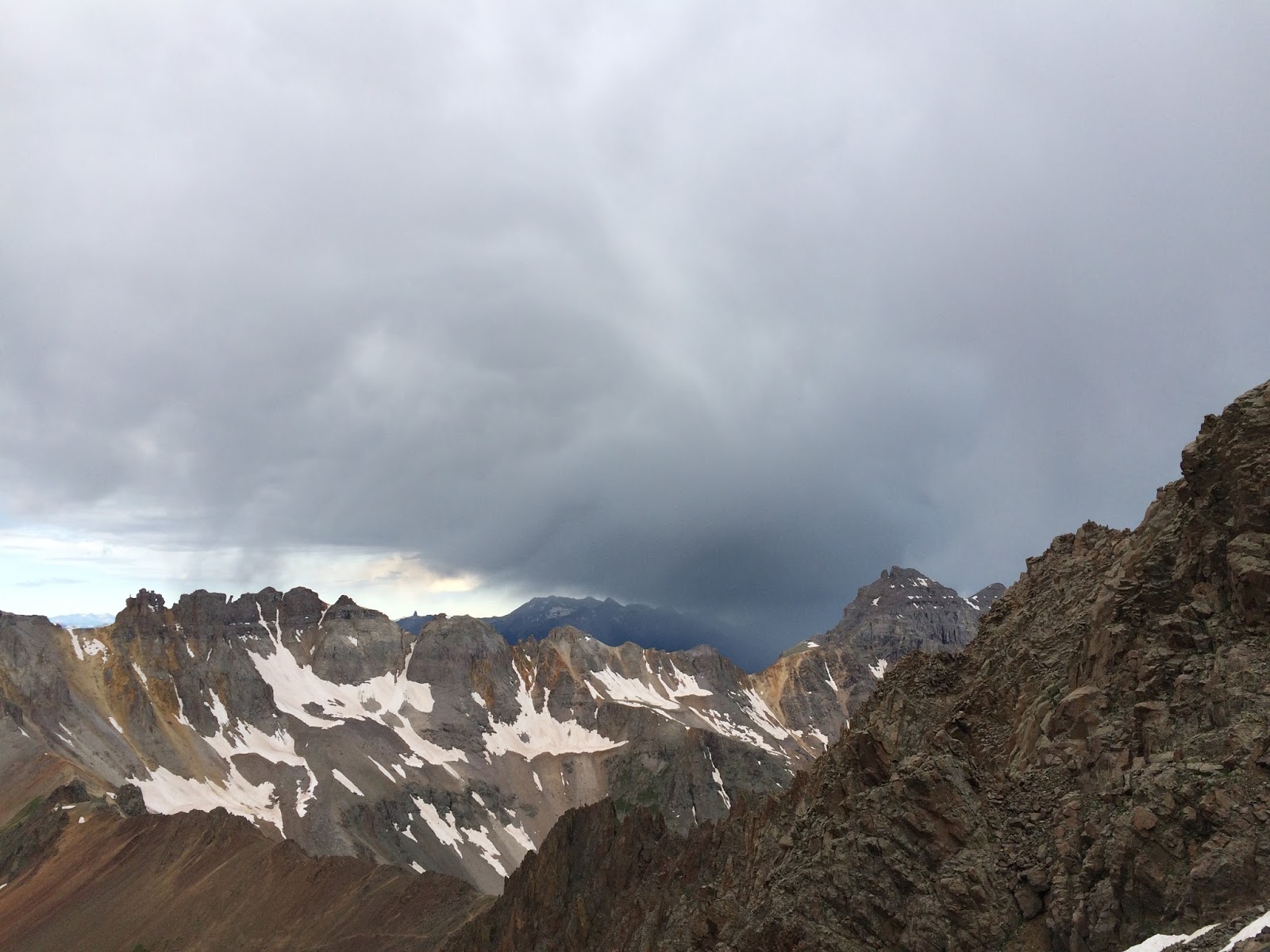
| The second band of rain. |
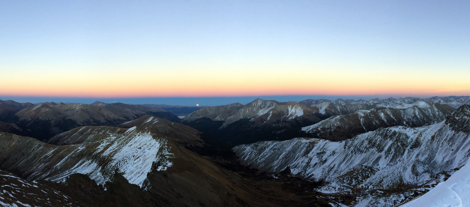
Even when you don’t summit a 14er the views can be gorgeous.
Yankee Boy Basin might be one of the prettiest places in Colorado—waterfalls,
ponds, wild flowers, mountain vistas…
The weather report we saw said a chance of rain after 9 a.m.
I’m guessing that was wrong, or we didn’t get the updated report.
We planned for a 4:30 a.m. start. Ended up being 5 a.m. at the
lower TH.
Also, we could have driven up farther into the basin instead
of stopping at the lower trailhead. We wouldn’t have gone all the way up, just
to the sign that says “4wd Short wheelbase.” Would have been enough to take
some time off.
And I took us off route, wrong fork in the road. But that
probably only cost us 10 minutes, if that.
We took the Blue Lakes cutoff trail from the road instead of
hiking to the 4wd TH.
 |
Wright Lake and dark clouds above Sneffels' summit, center.
The saddle is the low point on the left side of the ridge |
The clouds were obvious in the sky, even in the dark. As the
sun began to rise, it looked like there might be some gaps. But the darkest
clouds were still to our west, the direction we were heading.
Our first goal was the saddle/ridge to Blue Lakes. After we
passed Wrights Lake we got our first rain shower. It wasn’t hard or long, but
enough to wet everything down. As we continued to hike west, we made our first
decision, a change of plans around 6:00 a.m. Our thought was the weather was
coming in early. We’d skip the Class 3 route, which was probably wet due to the
current drizzle. Which meant we wouldn’t
be hiking to the saddle.
We turned north and hiked across grass and rocks to reach
the main trail just before the route splits. We would go up the Class 2 gully,
which was loose, steep and not very fun.
The clouds were moving, but still looked thick. Given the forecast we
knew, this would probably the fastest way to avoid the morning rain predicted.
Up the gully, and the clouds to the west continued to grow
dark. And then we saw the rain coming. We reached the top of the first gully at
about 13,500. Decision time, to go up or descend.
A father-son team was descending the second gully from the
summit. I asked what the weather looked like at the top. He said wet.
 |
| Weather coming in, again. |
In the mean time, six people were going up a head of us. A
group of four passed us at the transition from the first to the second gully
and several more people were coming up the first gully.
After a few minutes of discussion, looking at the rain
coming our way, and knowing the weather called for rain after 9 a.m., a couple
hours away, we decided to go down. The wind kicked up as we started toward the basin.
Halfway down the gully, we got pelted with sleet. We knew
then we made the right call. The brunt of the storm went just south of the
Yankee Boy Basin, with some thunder.
As we reached the bottom of the gully, we saw more people
were coming up the trail. And little did I know, a friend was heading up to the
Class 3 route on the side trail.
We looked back toward the summit. BLUE SKIES.
 |
| Sneffels, center, and blue skies. |
What? Yes, BLUE SKIES.
For a moment I thought about heading back up the mountain.
I kept turning around as I walked down toward the 4wd TH and
the road.
Hiker summit silhouettes with BLUE SKIES.
Frustration, even some anger. (Lack of sleep makes me diva
like, needed a Snickers.)
Rethinking the hike, this was all about timing.
Sometimes those predawn starts are what prevent you from
summiting.
IF, yes IF, we would have started on time, or driven farther
up, or not taken a wrong turn…. We would have been on the saddle (or close enough
to continue to it) and then would have been able to see to the west, the direction
of the bad weather. And I assume we would have been able to see the blue sky
behind the two storm systems that crossed over us.
OR, with those time elements, if we would have chosen to skip
the Class 3 route after the rain, and changed plans to hike the Class 2 route, we
probably would have been in the second gully and not even have seen the second
storm system coming. So we would have continued up to the summit.
OR, if we would have started later, 6, 7 or even 8, we would
have seen the blue skies.
Yes, it’s frustrating to think you are making wise decisions
and for those choices to be incorrect. They
weren’t bad choices. Being conservative in most mountaineering situations is a
good thing. But not on this day.
This is the seventh time I’ve turned back from a summit
attempt due to weather, timing or other situations. I have more than 100 14er
and 13er summits, so my success rate is pretty high. I realize if I’m going to
be serious about hiking and climbing mountains, there will be times I’ll have
to turn back. The reasoning doesn’t lessen the frustration, but the real goal
is to make it down safely.
Mt. Sneffels, we’ll be back. We’ll climb the Class 3 route like
originally planned and have another wonderful day in the beautiful San Juans. (Unless
it rains again.)